Village Of Dalrymple
The village of Dalrymple is located on the river Doon in Ayrshire, Scotland
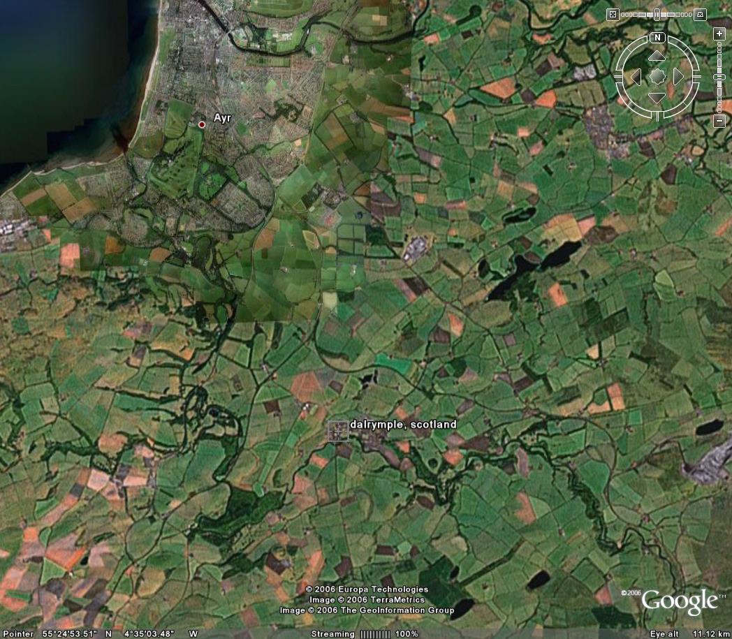
The village is approximately 5 miles south of the town of Ayr.
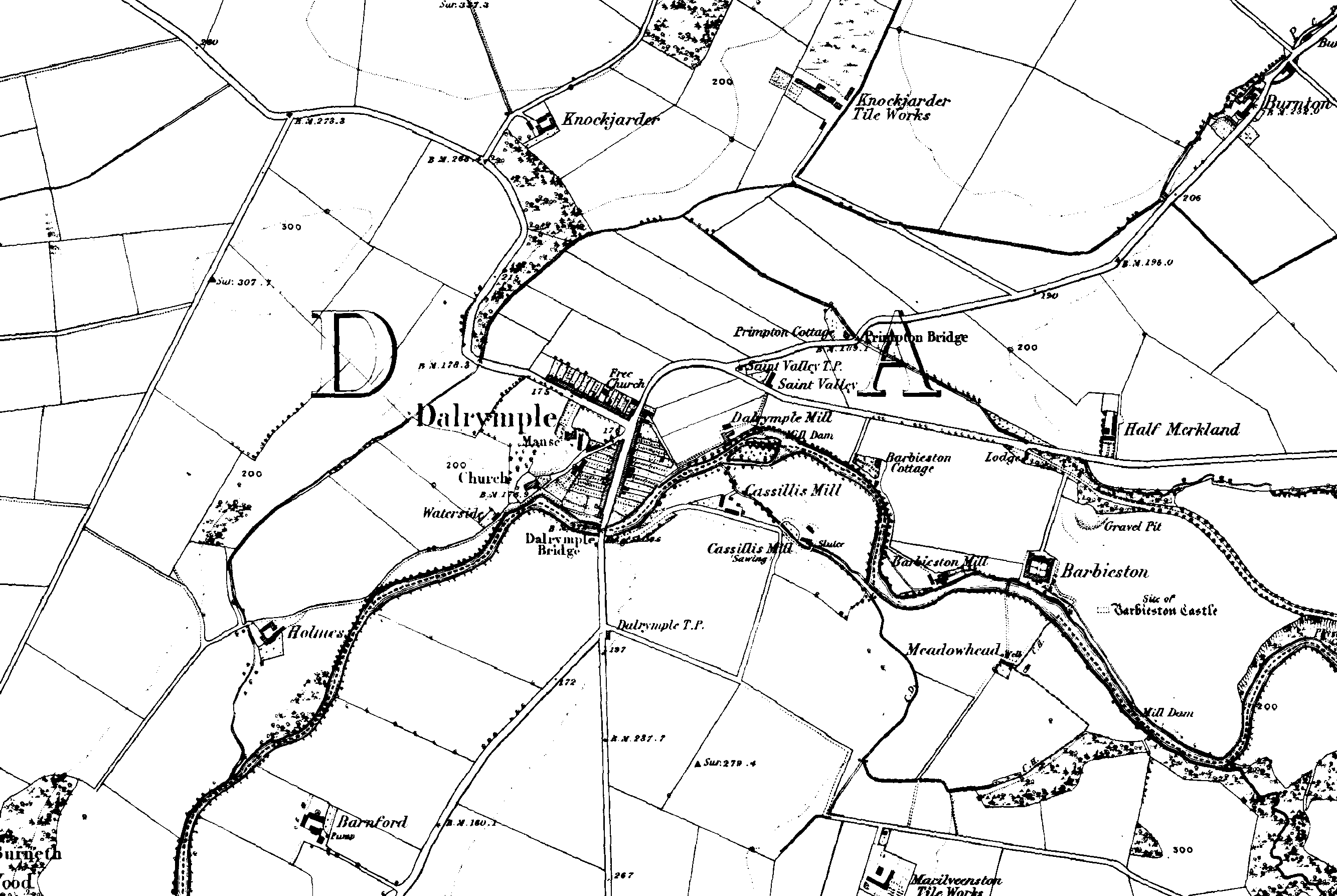
Map of Dalrymple dated 1860
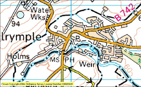
Contemporary map of Dalrymple
Contemporary satellite Image
The parish of Dalrymple consists of about 12 square miles of rolling arable countryside located in the Doon valley. The old Roman road connecting the Firths of Solway and Clyde runs through the village and several Roman artefacts have been found. There are also the remains of three ancient forts in the locality. The village acquired its name from the Barony of Dalrymple who owned the land, however during the reign of Robert II, the Barony passed to John Kennedy of Dunure. From him it passed through his family until Charles II. Much of the land has subsequently passed to the Marquis of Alisa.
According to census data, the population of the village in 1801 was 514, in 1831 was 933, in 1871 was 309, in 1881 was 305 and from the 2001 census the population was 1281.
The parish church was built in 1764.
Transcriptions of the Parish registers can be found at http://www.geographyhigh.connectfree.co.uk/famhistdalrympleoprmenu.html
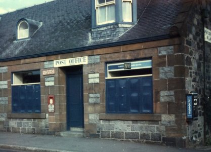
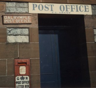
Dalrymple Post Office, early 1970's